|
|
|||||||||||||||||||||||
|
|||||||||||||||||||||||
|
|
|||||||||||||||||||||||
|
|
|
|
|
|
|
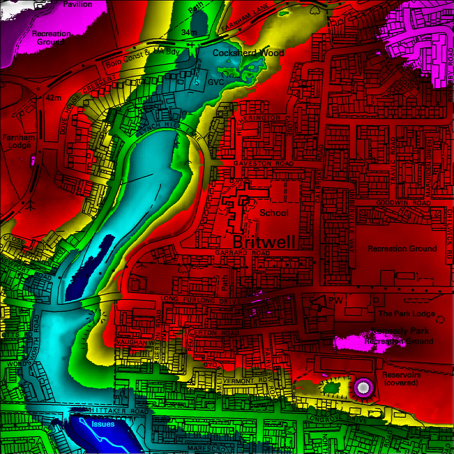
This map shows the terrain height in the Lynch Hill valley. High ground is coloured red and low ground in blue.

[Evergreen 2000] [History] [Our Founder] [Britwell Loop] [Merchandise] [Headline News] [Location aids] [Maintenance] [Photo gallery] [Modern maps] [-Cocksherd Wood] [-Bangle's Spinney] [-Haymill] [-Terrain map] [-LynchHill Spinney] [Michael F Twist] [Links] [Contact Us] [Sponsors] [Pocket Park] [Historic Hitcham] [Two Mile Brook]
